Consider hiring a surveying firm for your next project
Consider hiring a surveying firm for your next project
Only professional land surveyors can make property line determinations.
Many people mistakenly believe that telephone poles, fences, or cracks on the sidewalk mark property corners.
It can take a long time to divide a land parcel into multiple parcels. Each municipality has its own requirements, guidelines, and processes for dividing the land.
Things You Must Know Before You Book A Surveying Firm For Your Next Project
Talk to a professional land surveyor in your area about the process and any time constraints. Even if you just want to divide off a small portion of the farm to your child, this process can be very lengthy.
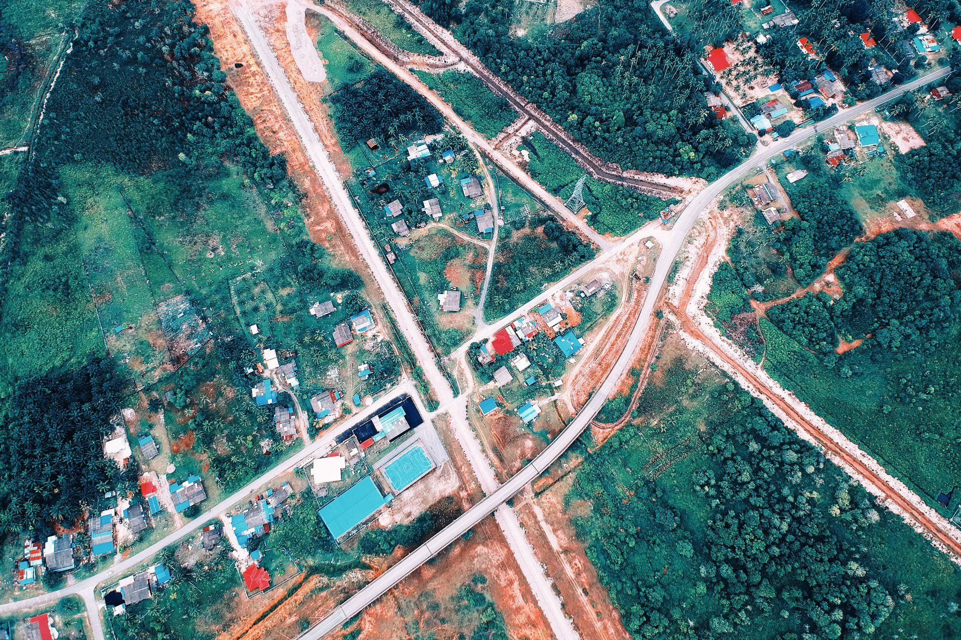
When is it best to have my land surveyed
- Before you buy it. This will show the relationship between the lines and deeded properties.
- When you borrow money from a lending institution, it may ask for a Land Survey Plat and/or an Improvement Location Certificate.
- If you suspect that there is a conflict of uses on your property, please notify us immediately.
- Before you divide any parcel of land, a land survey may be required by the county or city where your property is located before any improvements or structures can be built.
- If you plan to sell any parcel of land
- If your lawyer, architect or real estate agent, or municipal planning and engineering office requires it.
What can a Professional Land Surveyor do for me?
- Get a professional opinion by reviewing your deed and other evidence.
- You should know the exact locations and conflicts of your land's boundaries.
- Place monuments in the corners of your property and mark them to make it easy for people to find them.
- Keep a detailed record of all measurements and services rendered.
- Recognize and advise you of any obvious defects in your land description or evidence of conflict of ownership or use.
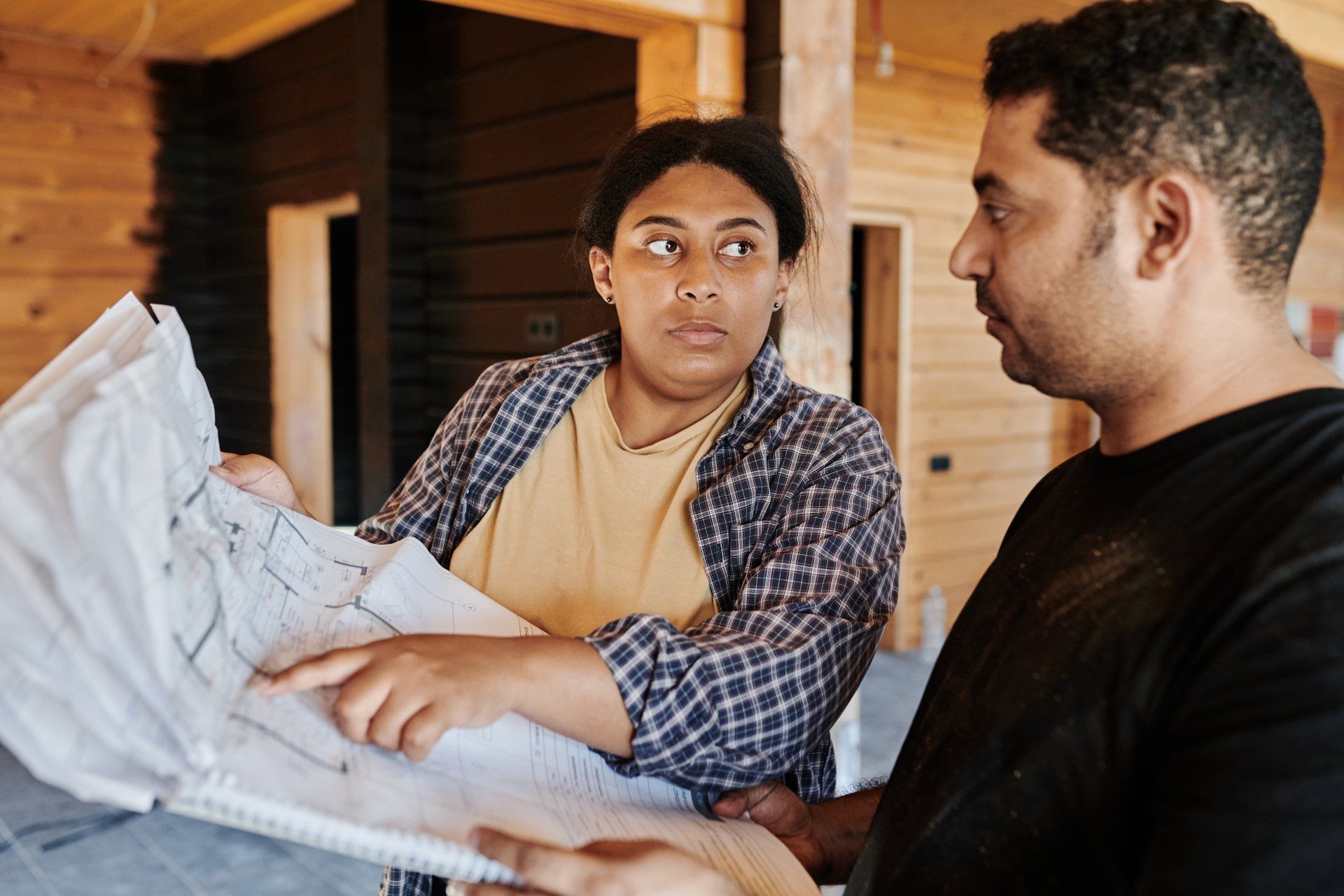
- Prepare a map or plat of your property, indicating the boundaries.
- Monuments were discovered and placed and the area calculated.
These maps should be provided to the client bearing the seal and signature of the Professional Land Surveyor. These maps can also be filed at the County Records or State Repository. This will make sure that the map or plat is accessible for public inspection.
What is a survey?
Most likely, your surveyor will begin work on your survey before they arrive at the site. To ensure that there are no gaps or overlaps in the properties, the surveyor must first do the necessary research. This will allow them to prepare information for fieldwork.
The surveyor will then conduct a field survey. If all goes well, the surveyor may place any missing corners or other marks—such as drill holes and disks, concrete monuments, etc.—during their first trip out. They may need to return to the office to do calculations if things don't go as planned.
The last step of the land surveyor is to draw the final map and present it to you.
Ready to work with Vancouver Land Surveyor Pros?
Let's connect! We’re here to help.
Send us a message and we’ll be in touch.
Or give us a call today at 604-200-4103
Land Surveyor Vancouver Quote
More Marketing Tips, Tricks & Tools